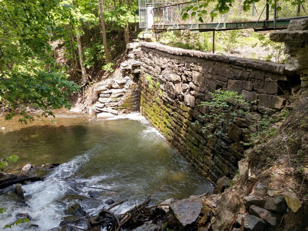
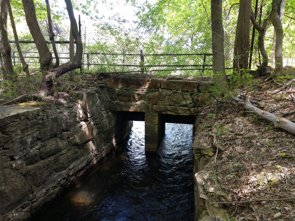
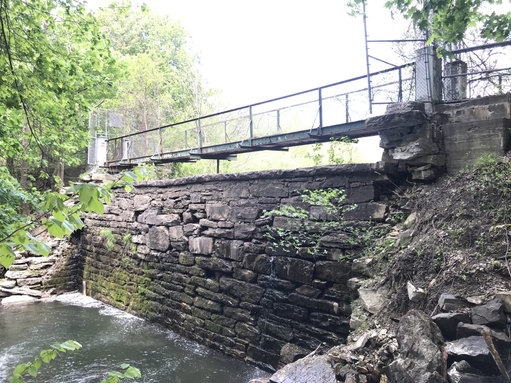
The Bel Air Dam (MA1061) is located in the City of Pittsfield in Berkshire County and impounds Pontoosuc Brook, which is a tributary to the West Branch of the Housatonic River. Bel Air Dam is located approximately 1.1 miles downstream of Pontoosuc Lake. The dam is accessed on the east side of Wahconah Street and is located west of Lenox Avenue. The construction of the dam was contracted in 1832, and it was originally used for power generation for a woolen mill until the 1920s. In the 1940s the use of the mill for wool production was abandoned. Bel Air Dam is now located upstream of several businesses, residences, and thoroughfares. A failure of the dam at maximum pool may cause loss of life and substantial damage to downstream buildings, roadways, and other infrastructure. Therefore, in accordance with the Massachusetts Department of Conservation and Recreation (MassDCR) Dam Safety Regulations, Bel Air Dam is classified as a HIGH (Class I) Hazard Potential dam. The owner of the dam is deceased. The impoundment upstream of the dam is owned by the City of Pittsfield as well as several private landowners. MassDCR considers the dam to be abandoned; ten years ago, MassDCR partnered with the City of Pittsfield to stabilize the sluiceway and since then has annually cleared sluiceway debris in order to maintain the lowest feasible water level in the dam.


In 2019, The Massachusetts Department of Conservation and Recreation (MassDCR) engaged AECOM to conduct a visual structural and geotechnical condition assessment of Bel Air Dam. As part of this work, DCR and AECOM began engagement with the City of Pittsfield to gather background information and discuss the project goals. The results of the 2019 study found that the dam was UNSAFE and STRUCTURALLY DEFICIENT. The Bel Air Dam (MA01061) Phase II Investigation and Alternatives Analysis Evaluation Report (AECOM, February 2020) presented the results of this assessment and used the findings to develop preliminary alternatives to address the deficiencies and to develop an opinion of probable construction costs. The preliminary alternatives considered repair, full removal, and partial removal of the dam consistent with the Dam Safety Regulations. The 2020 analysis estimated that approximately 50,000 CY of sediment was impounded behind the dam and up to 40,000 CY of sediment might need to be removed and disposed/reused if the dam was fully removed. Sediment removal and management costs are the biggest cost factor for the dam removal alternative. The least expensive alternative identified was the dam repair, with only limited sediment removal necessary to access the dam for required repairs. However, this alternative would result in potentially contaminated material remaining in place within the impoundment upstream of the dam.
In 2021, additional sediment sampling and analysis was conducted to characterize impounded sediment, identify disposal options, and facilitate an updated opinion of probable construction costs for managing the sediment. The sediment analysis identified that the impounded sediments contain elevated levels of chromium, arsenic, lead, polynuclear aromatic hydrocarbons (PAHs), and extractable petroleum hydrocarbons (EPHs). The levels of these compounds in some of the sediments were above MassDEP’s Massachusetts Contingency Plan (MCP) Reportable concentrations (RCs) as well as Beneficial Re-Use guidelines. The MCP RC criteria are not directly applicable to sediment, and therefore, the exceedance of RCs does not currently trigger any MCP notification requirements for the existing sediments below water. Upon completion of the proposed dam removal activities, the sediments that are above the proposed final water elevation would no longer meet the MCP definition of sediment and would instead be considered potentially accessible soils for which the RCs would apply. Based on this analysis, it is estimated that approximately 35,500 cubic yards (CY) of sediment would need to be excavated and disposed out-of-state if Bel Air Dam were removed, so that the soils remaining in place above the water elevation after dam removal do not exceed MCP RCs. Sediment would be removed from the majority of the existing impoundment to depths of approximately 8 feet below the current water elevation. In the dam removal alternative, the area of sediment removal would be restored to create a new stream channel, adjacent floodplain wetland, and potentially boardwalks for passive recreational access. In the upstream, relatively narrow reach of the impoundment above approximately mid-way between Wilson and Mohawk streets, sediment samples did not exceed MCP RCs, and therefore these sediments would remain in place.


The cost estimate for dam removal, including sediment management and disposal, is approximately $19 million, in 2023 dollars without escalation. Dam repair with limited sediment removal that would leave contaminated sediments in place is estimated at approximately $14.5 million in 2023 dollars without escalation. Dam repair with sediment removal equivalent to the dam removal alternative has been estimated at approximately $14.5 million in 2023 dollars without escalation
For Further Information Contact:
Jennifer.Doyle-Breen@aecom.com
